Analisis Banjir Daerah Ilotidea Kabupaten Gorontalo Menggunakan Data Citra Radar SRTM

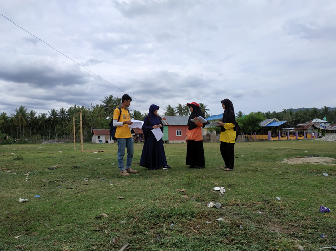
Ilotidea radar research team.
Floods are natural disasters that often occur in Indonesia, one of them in Gorontalo Province. Flood handling must begin with an understanding of flooding and geological conditions that have the potential to cause flooding. This study aims to determine the causes of flooding that occurred in the Ilotidea area based on the analysis of SRTM radar image data. SRTM data is processed and produces a 3D watershed hydrology surface model. Hydrological modeling is then carried out to obtain a 3D hydrological model on the surface of the Ilotidea region and its surroundings. Analysis of 3D watershed hydrology models and 3D hydrological models on the surface of the Ilotidea region and beyond to determine the causes of flooding in the Ilotidea region. Based on SRTM data, Ilotidea region consists of mountains morphology and lake plains. Surface modeling of 3D watershed hydrology shows that the Ilotidea region is in the Bolango watershed. The hydrological 3D surface model of the Ilotidea region shows that the flooding was caused by the overflow of Limboto Lake and Bolango River. Based on the results of the study, it can be concluded that when high-intensity rain occurs it will cause Limboto Lake and Bolango River to overflow, then causing flooding in the Ilotidea area.
Keywords: Flood, Radar, Hydrology, Gorontalo.
Tolodo, D. D., Suma, M. D., Yusuf, N. J., & Manyoe, I. N. (2019). Analisis Banjir Daerah Ilotidea Kabupaten Gorontalo Menggunakan Data Citra Radar SRTM. Jurnal Azimut, 2(1), 60-64.
