
3D Modeling of Olele Eco-Geotourism Area Based on Satellite Imaging, Geology, and Marine Analysis
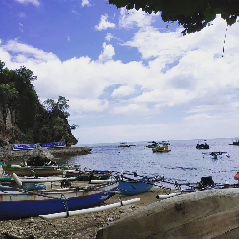
Olele Beach.
The identification of the potential for eco-geotourism is not sufficient to reveal the potential of the Olele area so that technological innovation is needed to model the design of the eco-geotourism area. The purpose of this research is to make a 3D modeling of Olele eco-geotourism area design based on satellite, geological, and marine data analysis. This research method uses satellite image data technology combined with a literature review. Satellite imagery uses the National Digital Elevation Model (DEMNAS) and National Bathymetry (BATNAS) which are processed and analyzed using the GIS application. Literature review refers to books, journals, and maps related to research topics. The results showed that the Olele region has two potential geosites and four potential ecosites. Satellite image data technology not only produces terrestrial topographical models, bathymetry models, and slope class map but also can show the relationship between openings in Jin Cave controlled by geological structures on land, and the unique relationship between Petrosia lignosa and the Olele underwater carbonate shelf model of Olele. Based on the identification and comparison of geosite and ecosite, the Olele area is unique on a local, national, and international scale.
Keywords: 3D Model, Geosite, Ecosite, Ancient Volcano, Coral Reef.
Abduh, A. G., Usman, F. C. A., Tampoy, W. M., & Manyoe, I. N. (2020). 3D Modeling of Olele Eco-Geotourism Area Based on Satellite Imaging, Geology, and Marine Analysis. Journal of Earth Sciences and Technology, 1(2), 90-101.