
Landslide Analysis based on Rock Mass Classification and Kinematic Analysis in Daenaa Area, Gorontalo
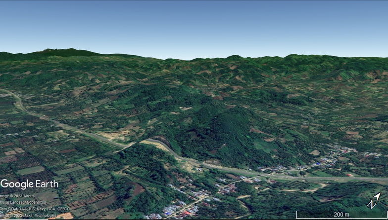
Research location.
Gorontalo province crossed by a Gorontalo fault with a movement of around 11 mm/year. The existence of this fault zone affects the distribution and configuration of geological structures and increases the potential for landslide in the Gorontalo area, especially areas that crossed by Gorontalo fault such as Daenaa. This study aims to identify rock mass classification and using kinematics analysis to landslideprone sites in the Daenaa and surrounding areas. The method used consists of geological observations, Scanline Mapping, rock mass classification using Rock Mass Rating (RMR), Slope Mass Rating (SMR), and kinematics analysis on slopes. The results showed the slope mostly composed of partially weathered andesite rocks. The slope discontinuities dominated by fractures either affected by tectonic or weathering. Scanline mapping and rock mass classification are focused at 4 stations namely SC 1, SC 2, SC 3, and SC 4. The RMR classification results indicate the rock class consists of 2 classes, namely Good Rock and Fair Rock. SMR classification shows the slopes consist of stable and partially stable. Kinematics analysis shows the failure type is toppling failure. The results of observations indicate the role of the geological structure in the Daenaa area is influential in controlling landslide in the study area. Fracture is the main factor causing landslide. The occurrence of minor faults in the study area also decreases the stability of the rock slope. This condition makes it necessary to take action in the surrounding community of Daenaa area related to mitigation of mass movement disasters.
Usman, F.C.A., Manyoe, I.N., & Kasim, M. 2020. Landslide Analysis based on Rock Mass Classification and Kinematic Analysis in Daenaa Area, Gorontalo. The 49th IAGI Annual Convention & Exhibition. IAGI, Lombok.