Subsurface Structure Identification In Ilotidea Using Electrical Method For Developed The Flood Tourist Science Village

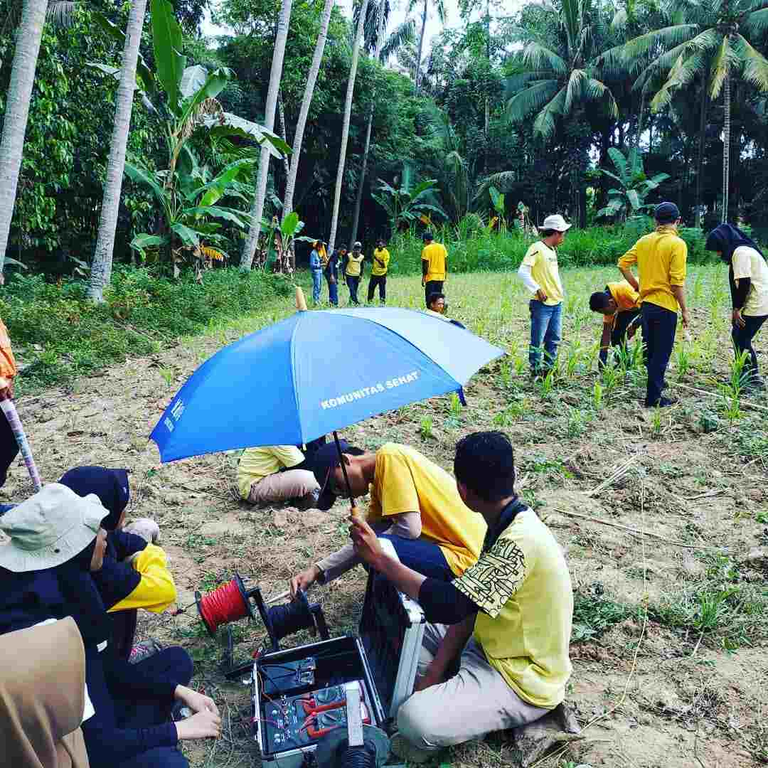
Data acquisition
Gorontalo is one area that is very vulnerable to flooding. Flood problems in Gorontalo must have a solution that can have a positive impact on the community and the government. The purpose of this research is to identification subsurface structure of the Ilotidea Region by using resistivity method. The result of this research will be used for the fundamental of developing the Flood Tourist Science Village. The method that used in this research is to take subsurface data by using the IPMGEO-4200 Electrical Resistivity Meter in 6 points at Ilotidea Village. Processing data through calculating the apparent resistivity, then interpreting the subsurface structure of the Ilotidea region. Based on the results of the data analysis, there are obtained 5 layers at each data retrieval point. The layers found at each point are composed of sandy clay, clay, sand, clay, and sandstone. Based on the results of the interpretation of the subsurface structure, the sandy clay layer is arranged with a layer of clay which has the characteristic of not easily escaping the water. This causes the Ilotidea area to be very vulnerable to flooding because when surface runoff and rainfall falls into this area has a high intensity and volume it will cause inundation due to the absence of water absorbed by material found below the surface. Based on the subsurface structure of the Ilotidea region, the house foundation that will be made in a flood tourism science village must reach a depth of 5-10 m where at this depth the layer is a clay layer which is not easy to escape and elastic so the house is not easy to collapse.
Keywords: Lithology, Subsurface, Electrical, Flood Tourism, Ilotidea.
Tolodo, D. D., Suma, M. D., Yusuf, N. J., & Manyoe, I. N. (2019). Subsurface Structure Identification In Ilotidea Using Electrical Method For Developed The Flood Tourist Science Village. Jurnal Sains Informasi Geografi, 2(1), 44-49.
