Geomorphology Fieldwork in Botu
Geomorphology field work 2014 was held in Bone River and Botu Mountains, Gorontalo. The field work was followed by students of class '14 at Geography Education Major, Earth Science and Technology Department, Universitas Negeri Gorontalo. Field work includes the identification of landforms in the field work location. Students were given the ability to use compass, read a map and do the plot position on a map. This field works are supervised by Intan Noviantari Manyoe, S.Si., MT (Lecturer), Febryant Masulli (Assistant Coordinator), Nurfauziah Kadir (Vice Koas), Fidhy Kurnia Damopolii (Assistant), Novita Putri Mokodompit (Assistant), Tober Mardain (Assistant), Djamal Adi Nugroho Uno (Assistant) and Mohamad Mokoginta (Assistant).
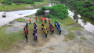
Figure 1. Start the field work from Bone River
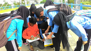
Figure 2. Blue group plot position on a map
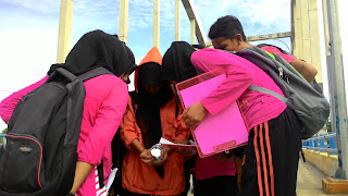
Figure 3. Pink Group plot position on a map
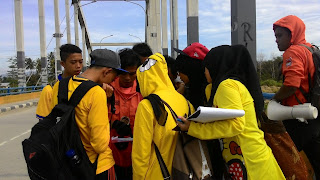
Figure 4. Yellow Group plot position on a map
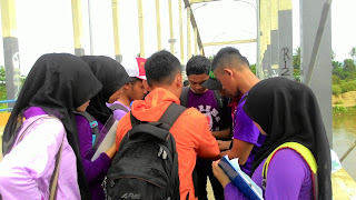
Figure 5. Purple Group plot position on a map
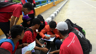
Figure 6. Red Group plot position on a map
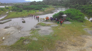
Figure 7. Move to the next station
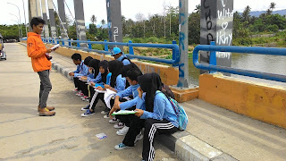
Figure 8. Blue Group field work test
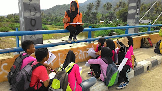
Figure 9. Pink Group field work test
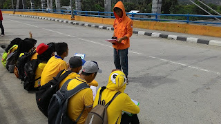
Figure 10. Yellow Group field work test
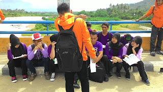
Figure 11. Purple Group field work test
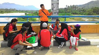
Figure 12. Red Group field work test
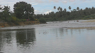
Figure 13. Students observed the landform at Bone River
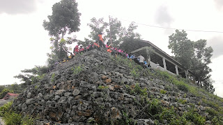
Figure 14. Students make a sketch of landform in front of Botu Mountains
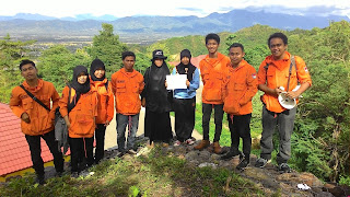
Figure 15. Fitri Sumaji got awarded as the best sketcher
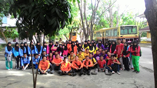
Figure 16. Assistant and students
