Analisis Parameter Gempabumi Dengan Struktur Geologi di Daerah Asparaga, Gorontalo
Gorontalo is an area located in the North Arm of Sulawesi which has a complex geological structure as a result of the submergence of the Sulawesi Sea and East Sangihe so that this area is considered an earthquake-prone area. The existence of the regional structure and the mapping of the earthquake point distribution is interesting to be studied more deeply because it affects seismic activity in the area. The purpose of this study is to analyze earthquakes in the Asparaga area based on their depth and magnitude and to relate them to the geological structures found in the study area. The earthquake data used were obtained from USGS. Satellite image data used is the SRTM satellite image. Earthquake data is mapped to produce depth maps, magnitude maps, and earthquake zoning maps. Lineament data were processed using a rosette diagram. Lineament can reflect the morphology observed on the earth's surface as a result of the activity of geological forces. The results showed that the Asparaga area had shallow earthquake depths and moderate to large magnitudes. The focus of the earthquake was right on the path traversed by the geological structure and its relatively northwest-southeast direction. The geological structure in the research location is the epicenter of the earthquake because it is crossed by regional geological structures.
Madusila, R. S., Manyoe, I. N., & Male, C. C. (2021). Analisis Parameter Gempabumi Dengan Struktur Geologi Di Daerah Asparaga, Gorontalo. Jambura Geoscience Review, 3(1), 1-8.
Calculation of Limestone Reserves in the East Biluhu Region, Gorontalo Province
Indonesia is a country that has a lot of natural resources. Natural resources are widely used in various areas of human life. One of the resources that is often used is limestone. Limestone is a non-metallic mining material that has considerable potential and reserves and spreads across almost all parts of Indonesia, but the exact amount of reserves is not yet known. The research aims to predict the amount of packstone-type limestone reserves using geophysical methods. This research was conducted using the geoelectric method with the Schlumberger configuration, where the resistivity geoelectric data obtained variations in resistivity and layer thickness. From this data, it is then interpreted to determine the type of rock in the surface area, and making a 3D model to determine the distribution of limestone in the study area and to calculate the amount of limestone reserves in the study area. Based on the research results, it is known that the research area is dominated by packstone with a resistivity value of 16.6 ohm.m - 1.3x10⁵ ohm.m. The calculation result of packstone reserves in the study area is 73,629,403 tons.
Annisa, W., Kasim, M., & Manyoe, I. N. (2021). Calculation of Limestone Reserves in the East Biluhu Region, Gorontalo district, Gorontalo Province. Journal of Earth Energy Science, Engineering, and Technology, 4(2).
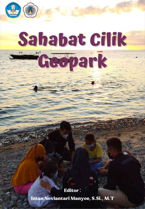
Sahabat Cilik Geopark

Buku Sahabat Cilik Geopark.
Buku “Sahabat Cilik Geopark” merupakan luaran dari program Geokids Care yang digagas oleh Tim Program Pengembangan Pemberdayaan Desa (P3D) yang mendapatkan pendanaan dari BELMAWA DIKTI. Semoga program Geokids Care dapat menjadi program pembinaan berkelanjutan bagi anak-anak Desa Botubarani dan berdampak pada pola pikir dan pola sikap anak-anak dalam menjaga lingkungan sekitar mereka.
Olii, AH, … [et al.]; editor, Manyoe, I.N. (2021). Sahabat Cilik Geopark. UNG Press, Gorontalo.
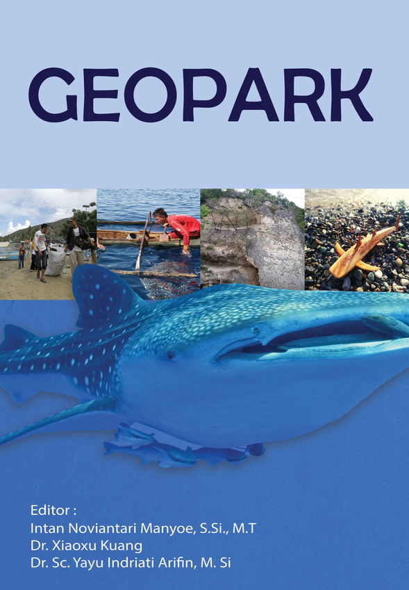
Geopark

Geopark book.
Geopark is an area or area that consists of several geological heritage sites that have uniqueness, scarcity, or protected geological beauty. The existence of geopark has its value for education, science, culture, and also socio-economic development.
Keywords: Geopark, Economic development, Geological heritage sites.
Al-Fayedh, M … [et al.]; editor, Manyoe I.N., Kuang, X., & Arifin, Y.I. (2021). Geopark. Novateur Publication, India
Disaster Management in Geotourism Area
Tourist areas are not only prepared to have tourism support facilities but must have disaster management. Disaster management in geotourism areas can reduce disaster risk. Through the P3D program disaster management steps are prepared. The P3D team partnered with the community to install disaster mitigation signs.
Damogalad, Y., & Manyoe, I.N. (2021). Disaster Management in Geotourism Area dalam Geopark, Manyoe I.N., Kuang, X., & Arifin, Y.I. (2021). (Eds) (Novateur Publication, India).
